At a glance
- Maximo customers can now access enhanced mapping functionality on mobile devices
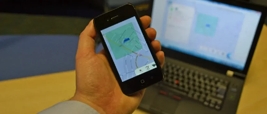
- New features allow users to view Maximo information on a map on a mobile device
- Real-time location awareness using GPS tracking on mobile devices
Ask anyone in the COSOL team about mapping and you’ll hear how maps enrich asset information by providing location context to enable a mobile workforce.
Leveraging the GPS capabilities of modern devices has always been a big component of our solutions. We’ve been working with EZMaxMobile since 2013 as the only fully functional Maximo mobile solution that can be installed quickly and integrates seamlessly with Maximo. Now, with a range of enhanced features and functions, EZMaxMobile represents an even stronger value proposition for asset-intensive businesses.
EZMaxMobile’s next-generation mapping features now allow users to:
- Align Mobile, Maximo and Mapping: Maximo data is displayed right on your map. View all information in one place from your mobile device.
- Integrate with Esri’s ArcGIS Server: View custom base maps, feature layers and feature data directly from your ArcGIS Server.
- Work Uninterrupted: Mapping is available online and offline.
- Access Driving Directions: Retrieve driving directions with real-time traffic data.
- Drop Pins: Drop a pin on a map to create a new Work Order or tag an Asset.
- Use Heartbeat GPS Tracking: Continuously send your device’s location back to Maximo for improved location based services.
- Assign Work by Proximity: See your workforce on a map and assign work accordingly.
Watch the video above to see it in action.
“Many of our clients have requested enhanced mapping capabilities,” says Jack Lee, Managing Partner at InterPro Solutions, developers of EZMaxMobile. “After doing our research and speaking with clients about what important features they need for maps, our development team delivered the next generation of mobile mapping capabilities.”

