FME Integration Platform

The simple solution for complex spatial integration.
FME has built-in support for hundreds of formats and applications as well as transformation tools, allowing users to build and automate custom integration workflows without having to code.
COSOL frequently uses FME to translate data between spatial and asset management systems due to FME’s superior support for Geographic Information System (GIS), Computer-Aided Design (CAD) and raster graphics software.
Some key benefits of FME are:
- Data Integration – Convert and transform data to form a unified view of Enterprise information
- Data Transformation – Alter the structure, content and characteristics of data to make it more useful for needs
- Spatial Data – Consider the connection between data and the location it represents to unlock new insights
- Application Integration – Create connections between various applications to allow for direct communication
- Data Conversion – Configure data for use in specific and niche applications
- Data Validation – Verify the quality of data to make better, more informed business decisions.
NO CODING REQUIRED
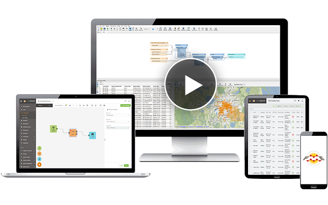
FME provides a visual no-code interface that is easy to follow to accomplish more, faster.
BEST SUPPORT FOR SPATIAL DATA
FME has been built to understand coordinate systems, elevation and other spatial attributes as well as formats like 3D and raster imagery.
ENTERPRISE AUTOMATION
Use the FME suite to schedule workflows, run them in response to triggers, or turn them into self-serve integration tools.
IMPROVE DATA QUALITY
Transformers are available within FME workflows to validate data at any step to maintain data quality.


